

Mark Twain National Forest near Rolla is a large public forest with recreation areas, trails, and camping opportunities. Lane Spring Recreation Area offers a straightforward place to start: it is south of Rolla and has two named trails, along with options for fishing, tubing, and wildlife viewing.
- Location: Near Rolla, Missouri; the forest spans 29 Missouri counties.
- Lane Spring access: 12 miles south of Rolla on U.S. Highway 63, then 1 mile west on Entrance Road.
- Lane Spring trails: Blossom Rock Trail is 1.25 miles; Cedar Bluff Trail is 1.5 miles.
- Managing agency: U.S. Forest Service.
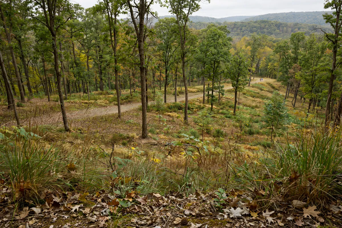
Forest Areas Near Rolla
Mark Twain National Forest is a broad network of public land, and Lane Spring is one recreation area near Rolla. The U.S. Forest Service manages the forest, which encompasses 1.5 million acres across 29 Missouri counties.
Lane Spring sits on Little Piney Creek in the forest’s northwestern portion. Its mix of recreation includes camping, hiking, fishing, tubing, and wildlife viewing. Camp options there include standard electric and nonelectric sites, group sites, and group picnic areas.
Other named forest destinations include Pine Ridge Recreation Area and the Moon Loop. A Forest Service publication says the Pine Ridge Section passes through Pine Ridge Recreation Area and is open to foot travel and mountain bikes, but not horses.
The Moon Loop is about 7 miles long; its name refers to the moon-like appearance of soil erosion from the 1930s, and the area has since been restored.
For a different Rolla-area outing, the Fugitive Beach visit-planning guide covers a place near Rolla.
How Do You Get to Lane Spring and Choose a Trail?
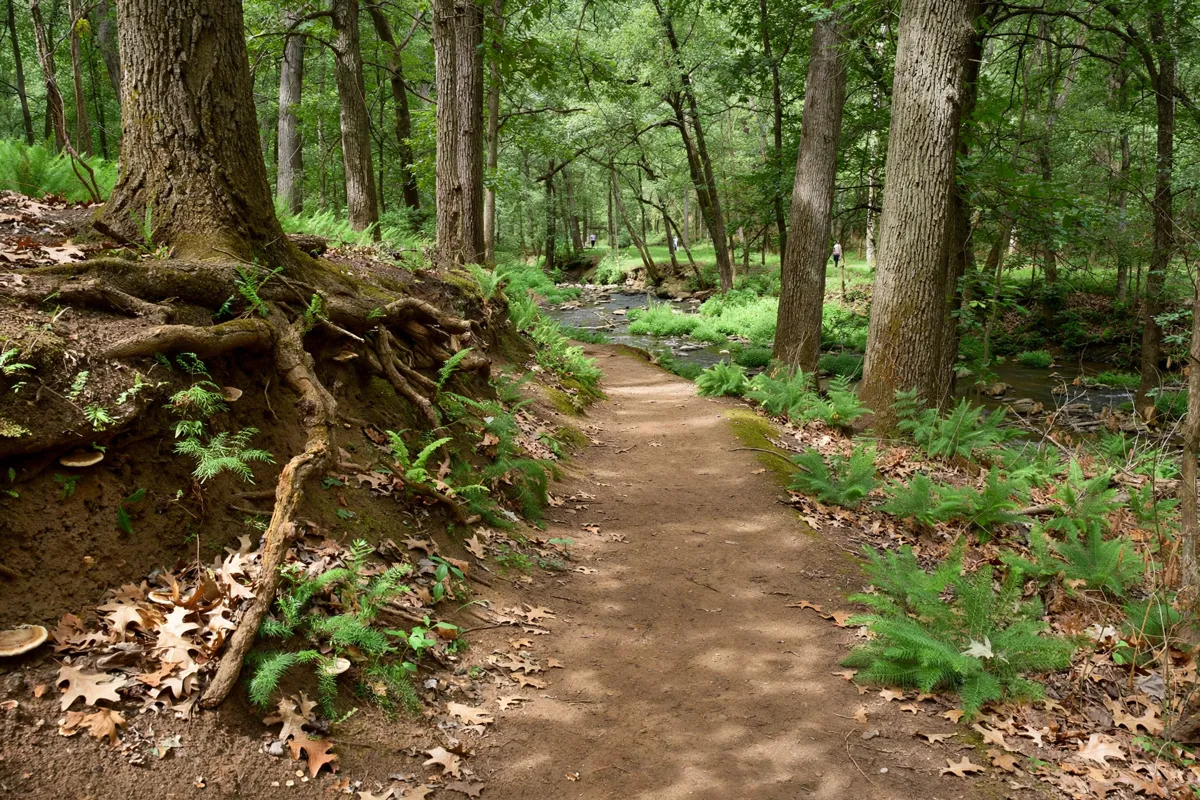
From Rolla, drive 12 miles south on U.S. Highway 63, then turn west onto Entrance Road and continue for 1 mile to Lane Spring Recreation Area.
Once there, you can choose between two short trails: Blossom Rock Trail is 1.25 miles, and Cedar Bluff Trail is 1.5 miles. Pick the trail that suits the time you have, or plan both as separate walks. Lane Spring also combines hiking with creek-area activities such as fishing and tubing.
If you are considering Pine Ridge, note that its section allows hiking on foot and mountain biking, but not horseback riding. The Moon Loop offers a longer route at about 7 miles.
Lane Spring is outside Rolla; the Rolla downtown visitor guide covers the city centre.
Check Conditions Before You Go
Check current access, recreation notices, and fees with the U.S. Forest Service before setting out. Conditions and site information can change, so check the official site before you go.
For questions about the Houston/Rolla/Cedar Creek Ranger District, call (417) 967-4194. The Forest Supervisor’s Office is at 401 Fairgrounds Road, Rolla, MO 65401.
Parking, Permits, and Forest Rules
Some developed recreation sites charge day-use fees, and Lane Spring has additional fees for extra vehicles and parking in its day-use area. Recreation.gov identifies these charges but does not give their amounts.
The Mark Twain National Forest Day Use Pass applies at Forest Service-operated developed recreation sites that charge a day-use fee. America the Beautiful passes, including Senior, Access, Military, Gold Star, Veteran, and Golden Age Senior/Access passes, are accepted at those sites.
Forest Service rules also limit camping to 14 days in any 30-day period. Once a camp reaches that 14-day limit, it must be removed until the 30-day period ends. Do not enter or use a developed recreation site, or part of one, when it is posted closed.
At Lane Spring, do not bring firewood from outside the area. Obtain firewood near your camping destination and burn it on-site.
Plan a Safe Day Outdoors
Set your route and activity around the access point you choose. For Lane Spring, use the Highway 63 and Entrance Road directions, then select one or both of its short trails or combine a walk with fishing, tubing, or wildlife viewing.
Before leaving, confirm that your destination is open and review any current fee or access notices with the Forest Service. If camping at Lane Spring, follow the local firewood advice; across the forest, observe posted closures and the camping time limit.
FAQs
How large is Mark Twain National Forest?
It encompasses 1.5 million acres in 29 Missouri counties.
What trails are at Lane Spring Recreation Area?
Blossom Rock Trail is 1.25 miles long, and Cedar Bluff Trail is 1.5 miles long.
Can you mountain bike in the Pine Ridge Section?
Yes. The Forest Service publication says the Pine Ridge Section is open to foot travel and mountain bikes, but not horses.
What activities are available at Lane Spring?
Lane Spring offers camping, hiking, fishing, tubing, and wildlife viewing.